AUTOUR DES VILLAGES (SJD)
Pédestre
à Saint-Julien-sur-Dheune
9.4
km
Pédestre
2h 30min
Moyen
-
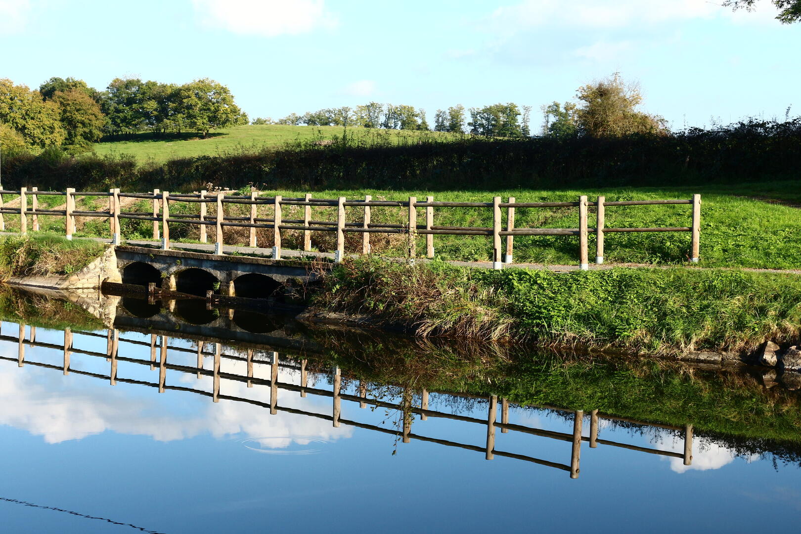
La balade commence au coeur de Saint-Julien-sur-Dheune, où, à proximité, vous trouverez une aire de pique-nique ombragée avec aire de jeux pour les enfants et terrain de pétanque. Ce parcours emprunte la Voie Verte qui longe le canal du Centre et se poursuit à travers la nature où il n’est pas rare de rencontrer de nombreux animaux : vaches, chevaux, ânes et même lièvres et chevreuils.
- Départ
- Saint-Julien-sur-Dheune
-
-
Dénivelé
- 196.59 m
-
-
-
-
-
Documentation
- Les fichiers GPX / KML vous permettent d'exporter le tracé de votre randonnée sur votre GPS (ou autre outil de navigation)
-

- Points d'intérêt
1
Halte nautique

2
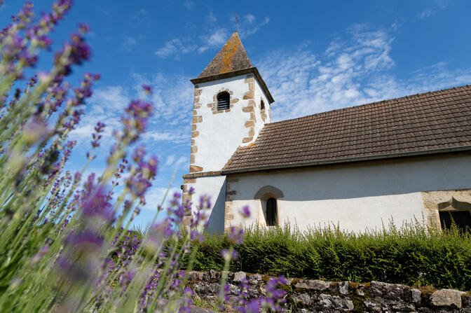
Eglise
3
La Dheune

- 197 mètres de dénivelé
-
- Altitude de départ : 270 m
- Altitude d'arrivée : 270 m
- Altitude maximum : 357 m
- Altitude minimum : 262 m
- Dénivelé total positif : 197 m
- Dénivelé total négatif : -197 m
- Dénivelé positif maximum : 48 m
- Dénivelé négatif maximum : -62 m