À TRAVERS BOIS ET BOCAGES (SFI)
Pédestre
à Saint-Firmin
12.0
km
Pédestre
3h 30min
Moyen
-
À ne pas manquer : la vue sur le château de Brandon, perché sur sa colline.
-
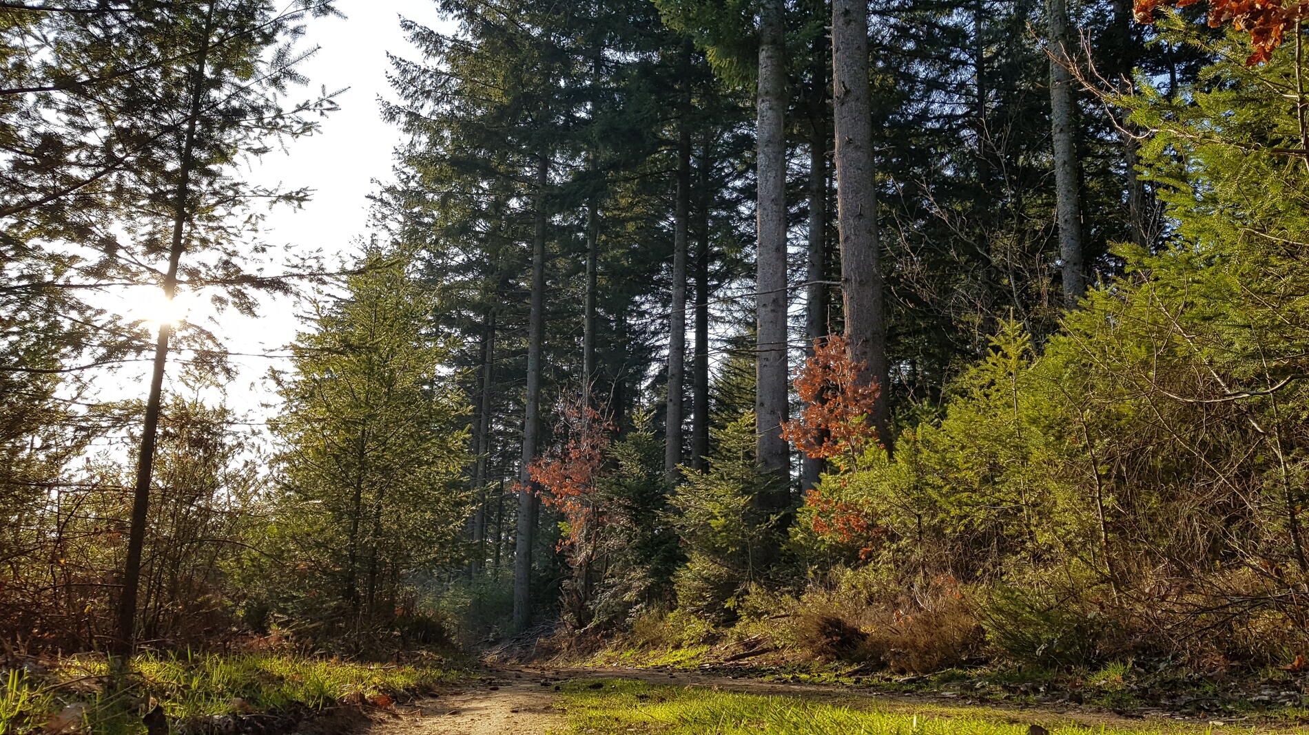
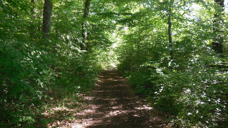
Saint-Firmin s’étend en écharpe le long des vallées de la Vesvres, du Mesvrin et de Champitaux et se poursuit jusqu’au rebord du plateau d’Antully à 510 m d’altitude. Cette agréable balade vous mènera de forêts en bocages à la découverte des panoramas et des vestiges qui jalonnent le parcours. L’allée des Chevaux, grande ligne droite à travers la forêt des Rinchis, permet de profiter d’une pause fraîcheur en été.
- Départ
- Saint-Firmin
-
-
Dénivelé
- 244.24 m
-
-
-
-
-
Documentation
- Les fichiers GPX / KML vous permettent d'exporter le tracé de votre randonnée sur votre GPS (ou autre outil de navigation)
-

- Points d'intérêt
1
Menhir des Caillots

2
Pierre de Champitaux

3
Allée des chevaux
4
Le Battoir

- 244 mètres de dénivelé
-
- Altitude de départ : 402 m
- Altitude d'arrivée : 402 m
- Altitude maximum : 500 m
- Altitude minimum : 402 m
- Dénivelé total positif : 244 m
- Dénivelé total négatif : -243 m
- Dénivelé positif maximum : 54 m
- Dénivelé négatif maximum : -32 m